
DEEPHAVEN COVEWater, woodland & a shared sense of home
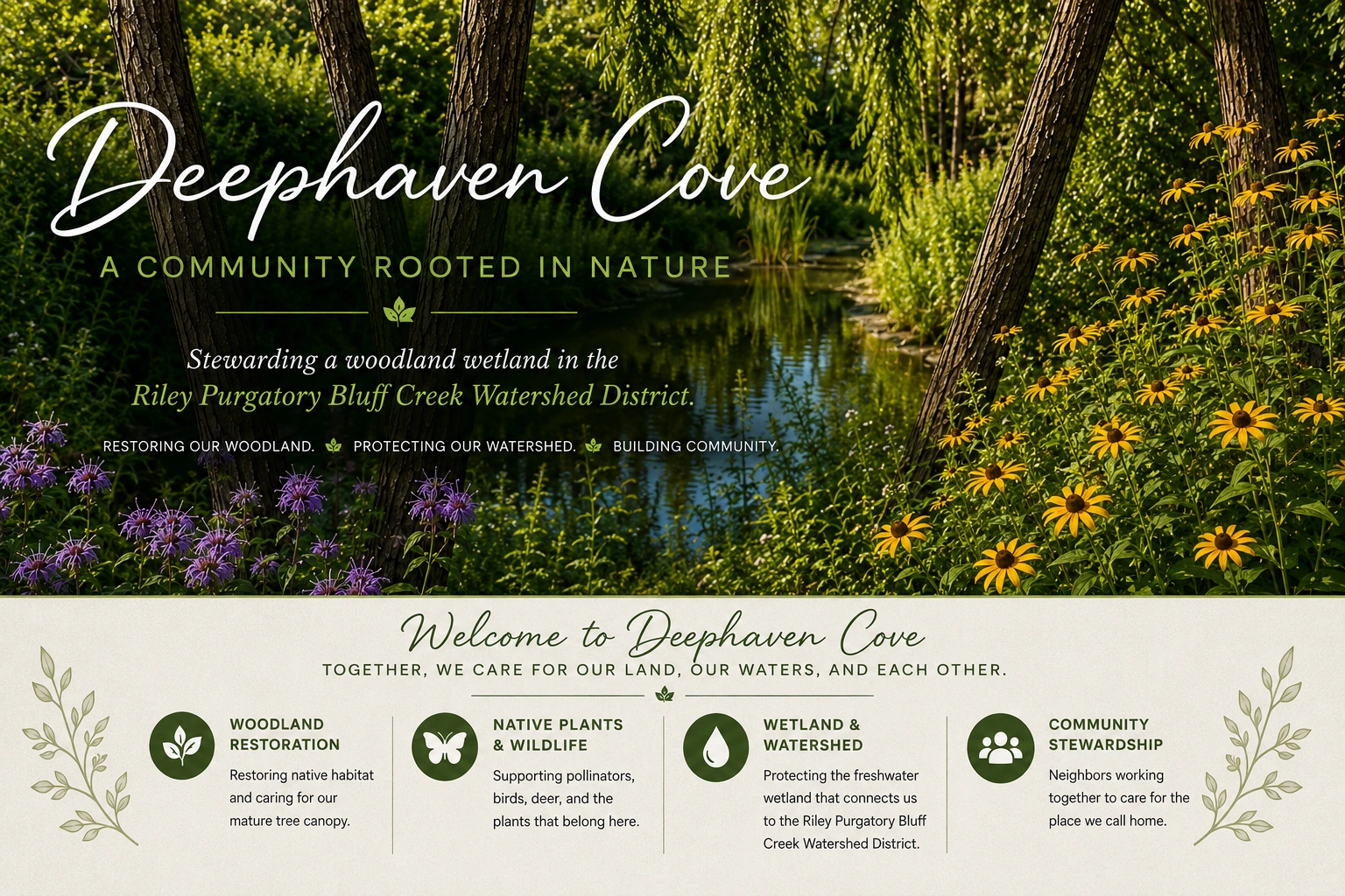
WOODLAND JOURNAL · NEW SPECIAL EDITION · OCTOBER 2026
Restoring
our habitat.
The pond, the woodland, and the land beneath our homes.
Read the seven-page publication
A community rooted
in care.
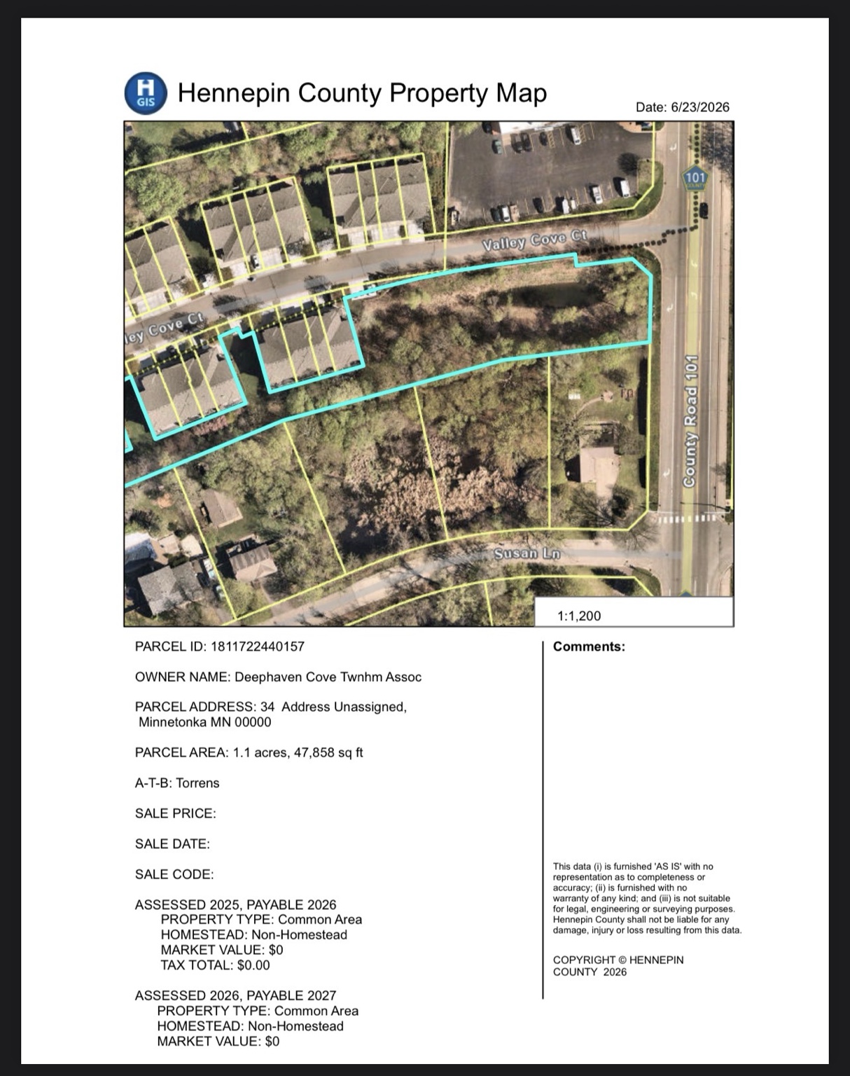
This educational edition brings together our ownership record, wetlands-map view, restoration history, and practical questions about future care.
For the expanded ownership narrative, maintenance budget history, and latest planning context, read the current pond story and project updates .
Educational content; it does not adopt an association plan, budget, or grant commitment.
The land beneath our homes
We began with landscaping. We discovered a landscape.
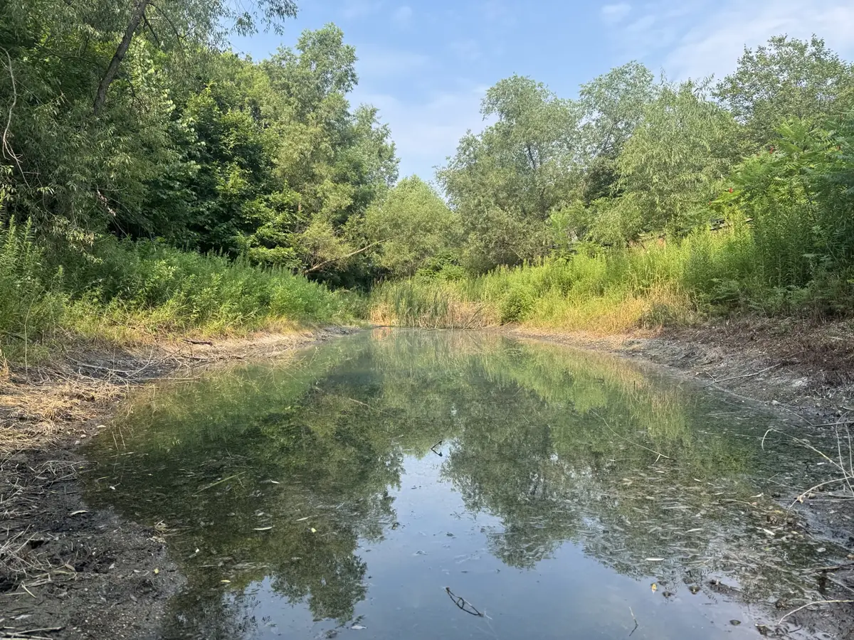
Flowers, trees, boulders, and a pond invite us to look closely at the place we share. Understanding it means asking where water goes, what land we own together, and what care will help this place endure. County records, wetland maps, development plans, and observations each contribute a different part of the story.
Another view of the land
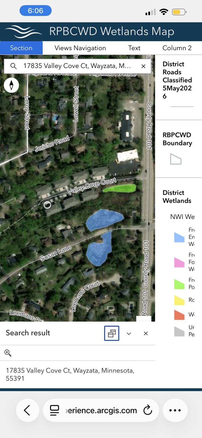
The watershed district’s wetlands map shows mapped features near Valley Cove Court, County Road 101, and Susan Lane.
The 2026 restoration record
Making room for water to move.
The June restoration scope included pond debris clearing, drainage improvements, safe access, off-site disposal, and final restoration. July 30–31 documentation describes work on the outlet grate, obstructing roots, and excavation, followed by water flowing again. These are recorded observations during the work, rather than a technical certification or a guarantee against flooding.
Habitat and infrastructure
Two responsibilities. One landscape.
Protecting suitable vegetation and maintaining drainage structures belong in the same conversation. A site assessment can guide invasive management, native planting, erosion control, and continued care. The Minnesota Stormwater Manual explains why debris, sediment, damaged structures, and loss of stabilizing plants can affect pond function. Notice concerns, record dates and locations, and use qualified professionals for assessment and repairs.
A future funding possibility
Understand the offer before committing.
The watershed district lists homeowner associations in its non-residential category. The program terms in October 2026 described potential support up to 50% of eligible costs, capped at $50,000, with an eligible-area limit of $1.50 per square foot. Those are program limits, not an award to Deephaven Cove. The district must confirm category, boundaries, eligible costs, and maintenance requirements.
The next chapter
Thoughtful stewardship begins with learning.
Collect the records. Seek technical guidance. Identify priorities. Understand the ongoing care each option requires. Our opportunity is to leave future caretakers a clearer story of what we learned, what we did, and what still needs attention.